Tracking Highway Sequence from Solaris
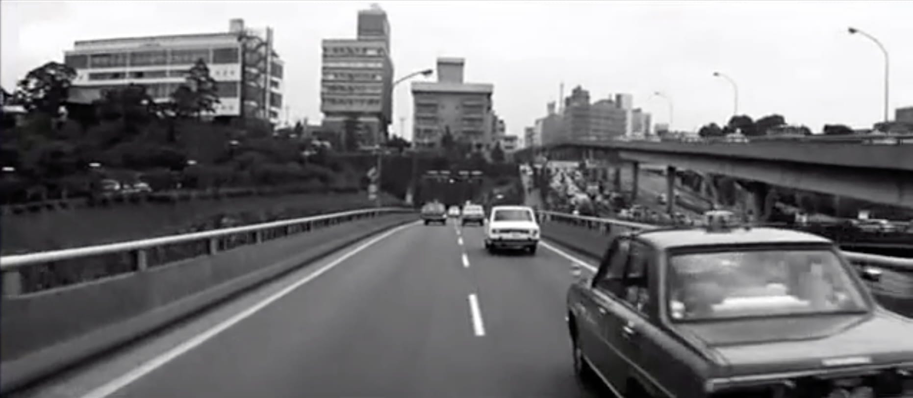
Andrei Tarkovsky’s Solaris (1972) was set in a future that should have felt distant to the audience when the film was released. To depict this future, Tarkovsky needed a modern, unfamiliar cityscape—something Soviet citizens had never seen. Instead of building a set, he turned to Tokyo’s newly constructed expressway system for an infamous highway sequence.
I know Tokyo well enough to recognize those places, so I set out to trace their locations on Google Maps.
The Sequence
Locations
Unfortunately, the most places you cannot go by foot, by it is possible to drive through the same places while listening to Bach.
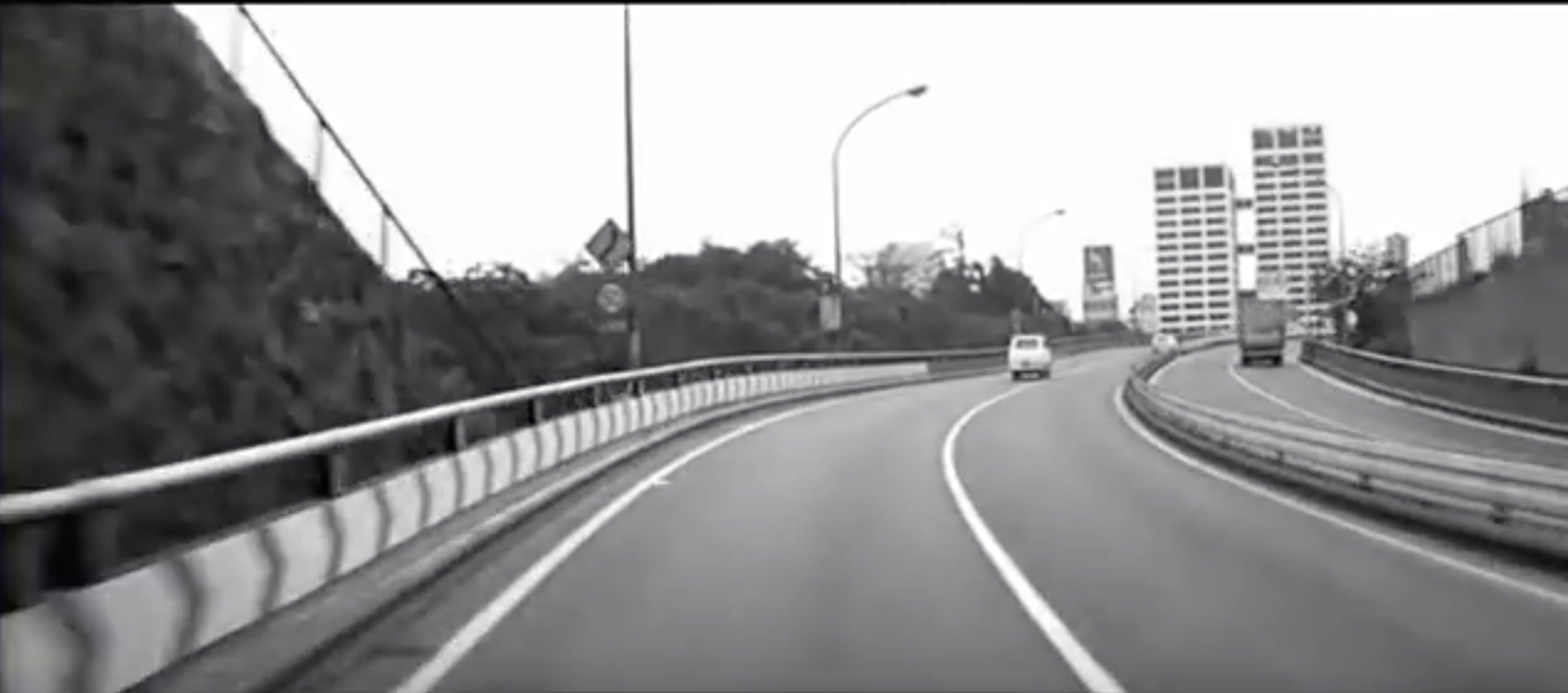
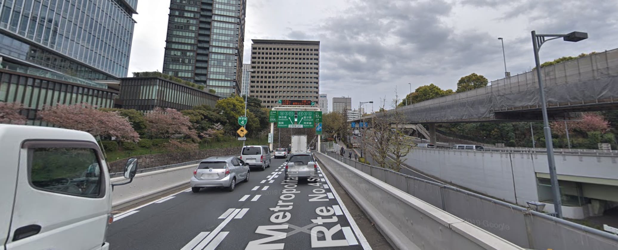
Akasaka Sequence
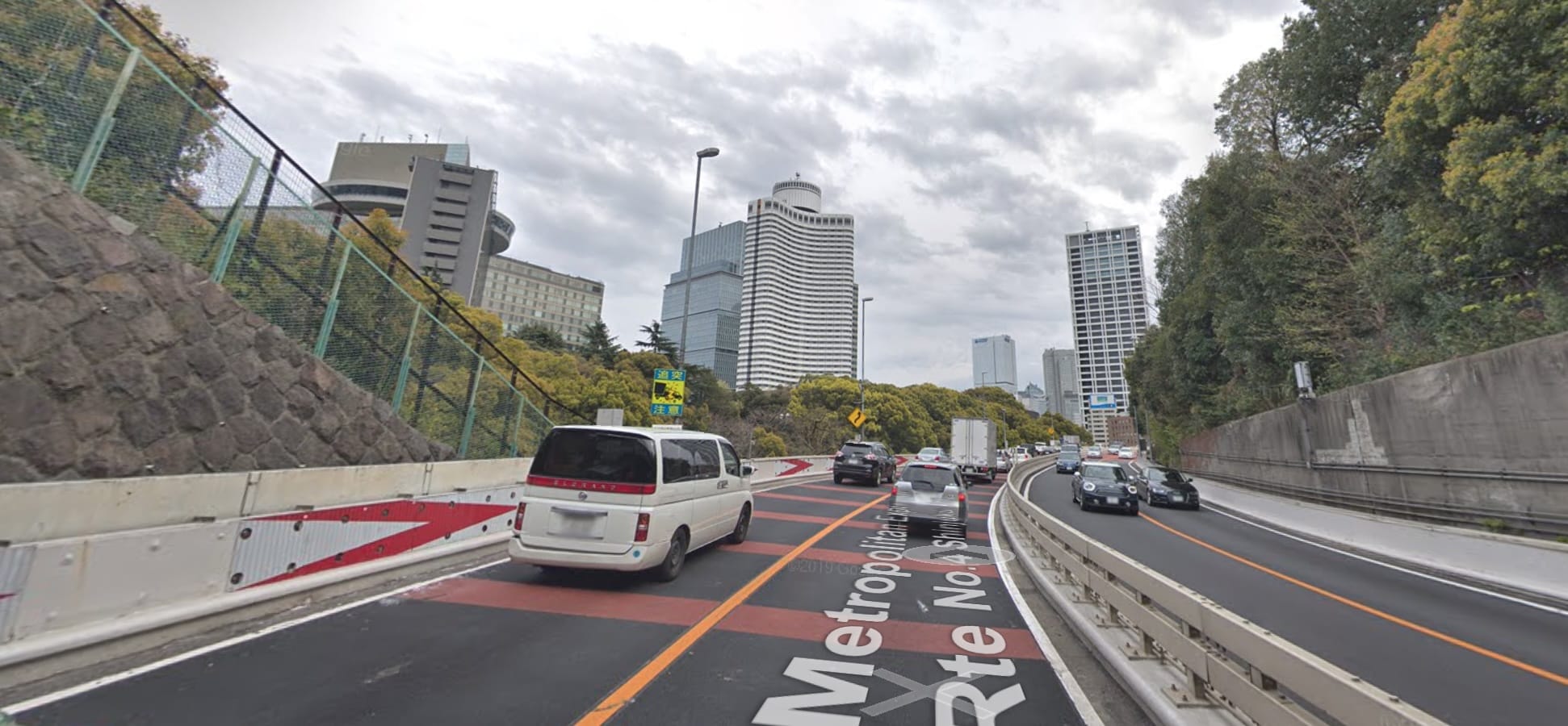
View from Minamimotomachi park: (map)
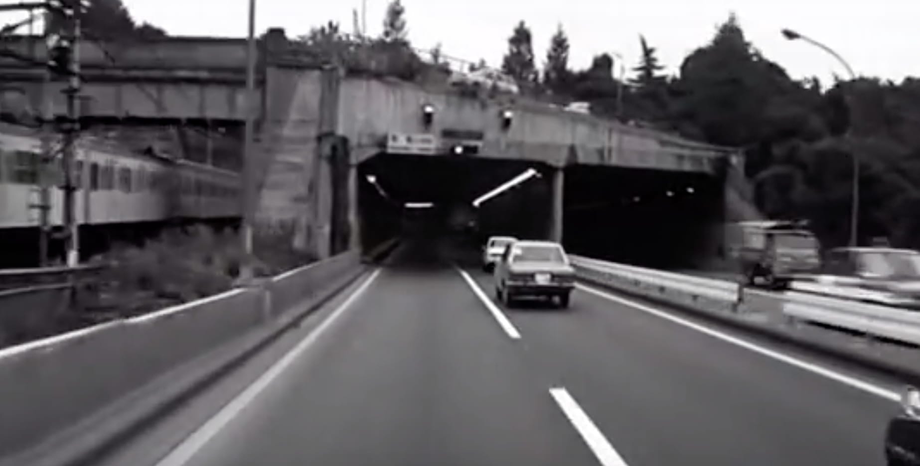
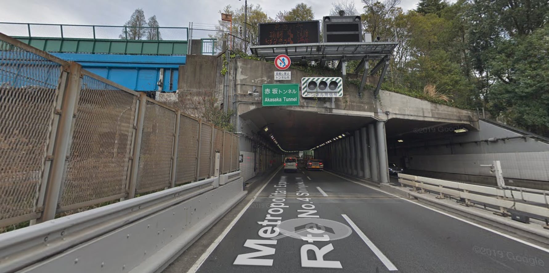
Exit on the other side of the tunnel: (map)
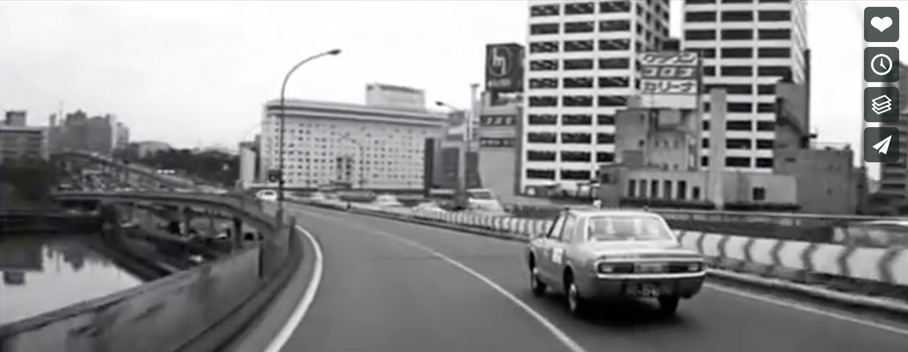
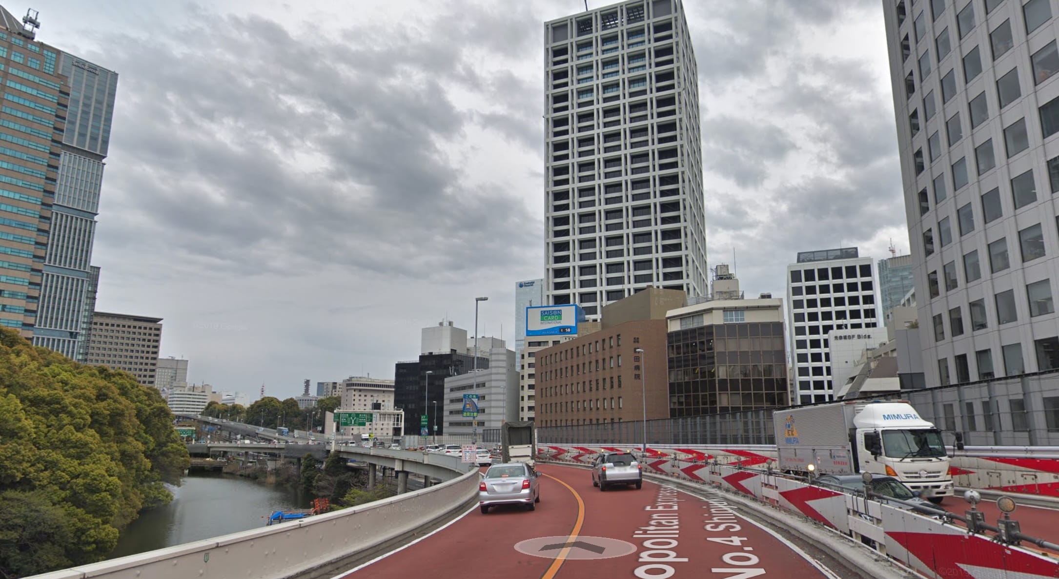
Approaching Benkei Fishing Club; Yahoo Japan HQ is on the left across the pond:
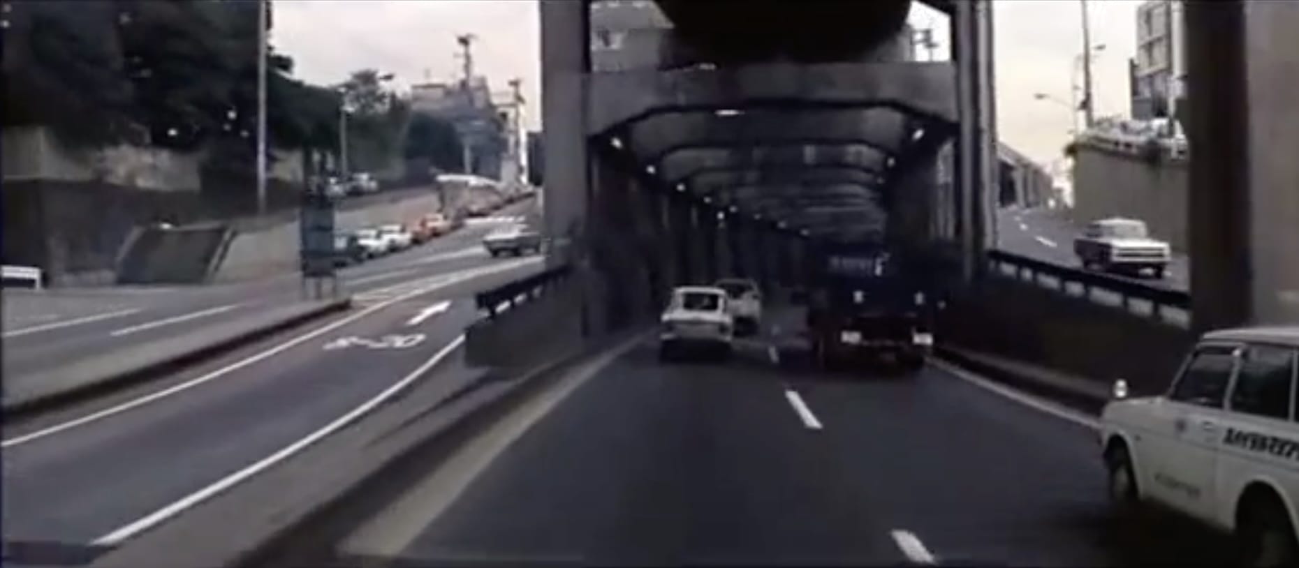
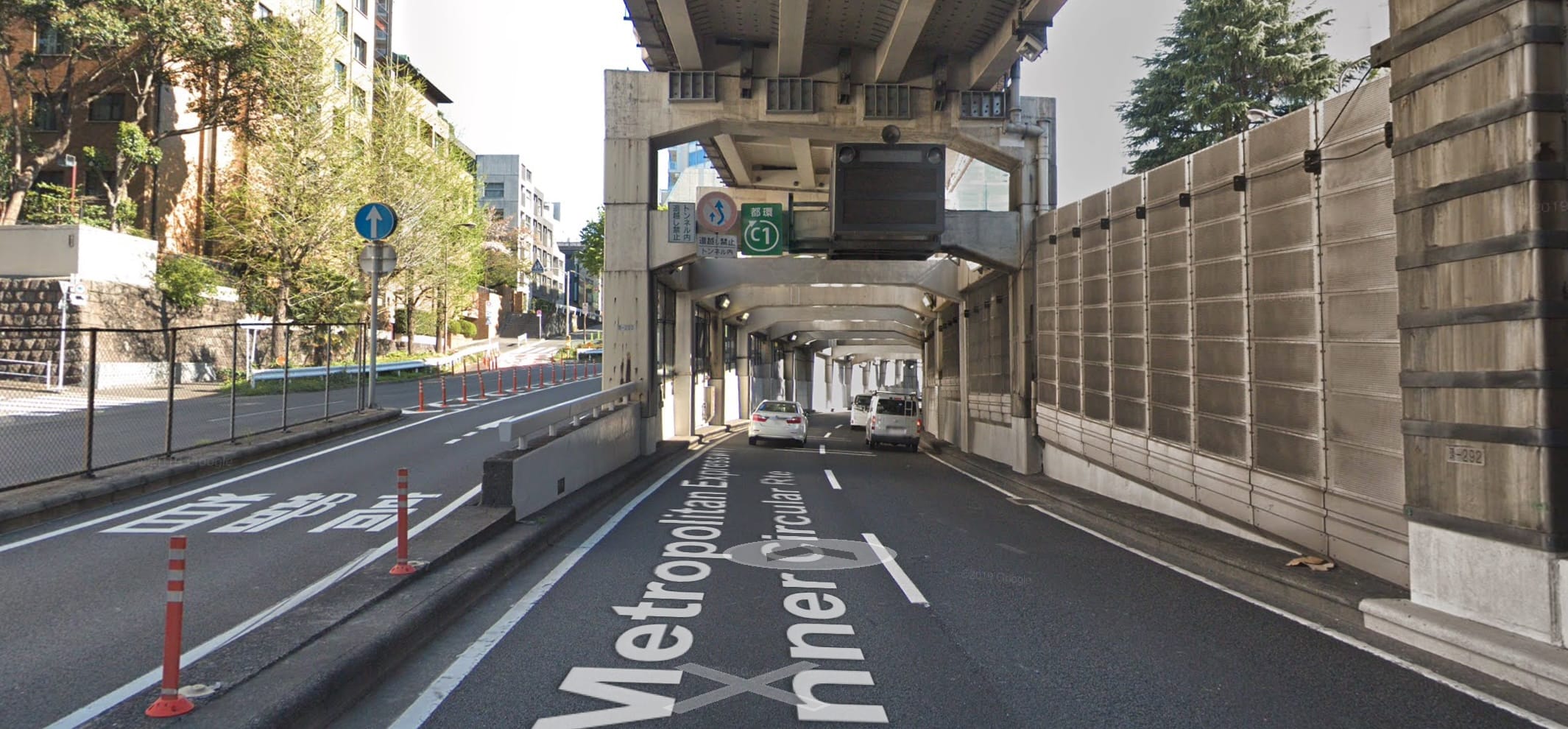
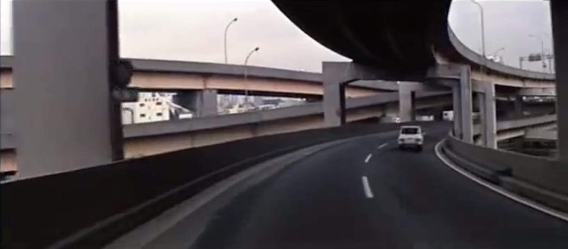
Slope leading to tunnel directly above the Akasaka Mitsuke station, Exit D (map)
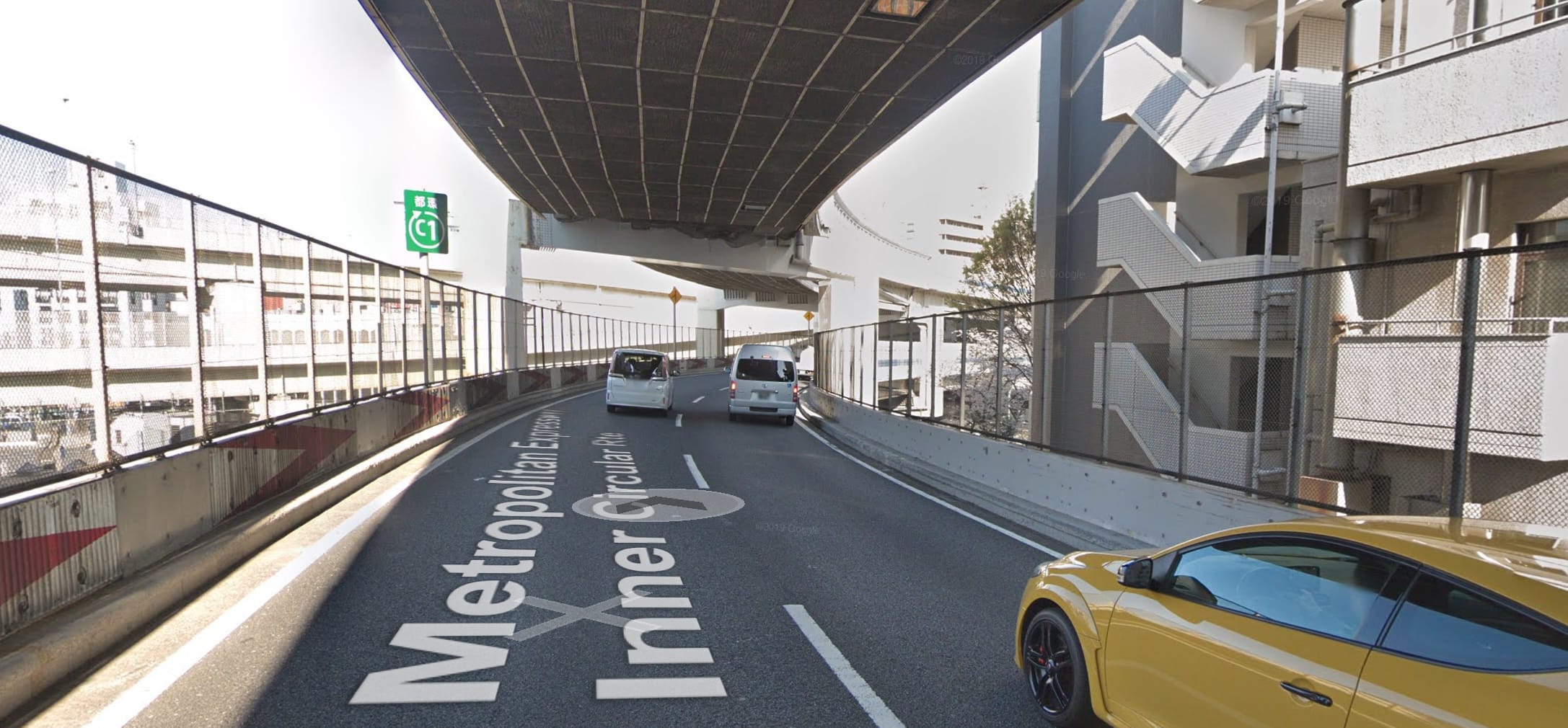
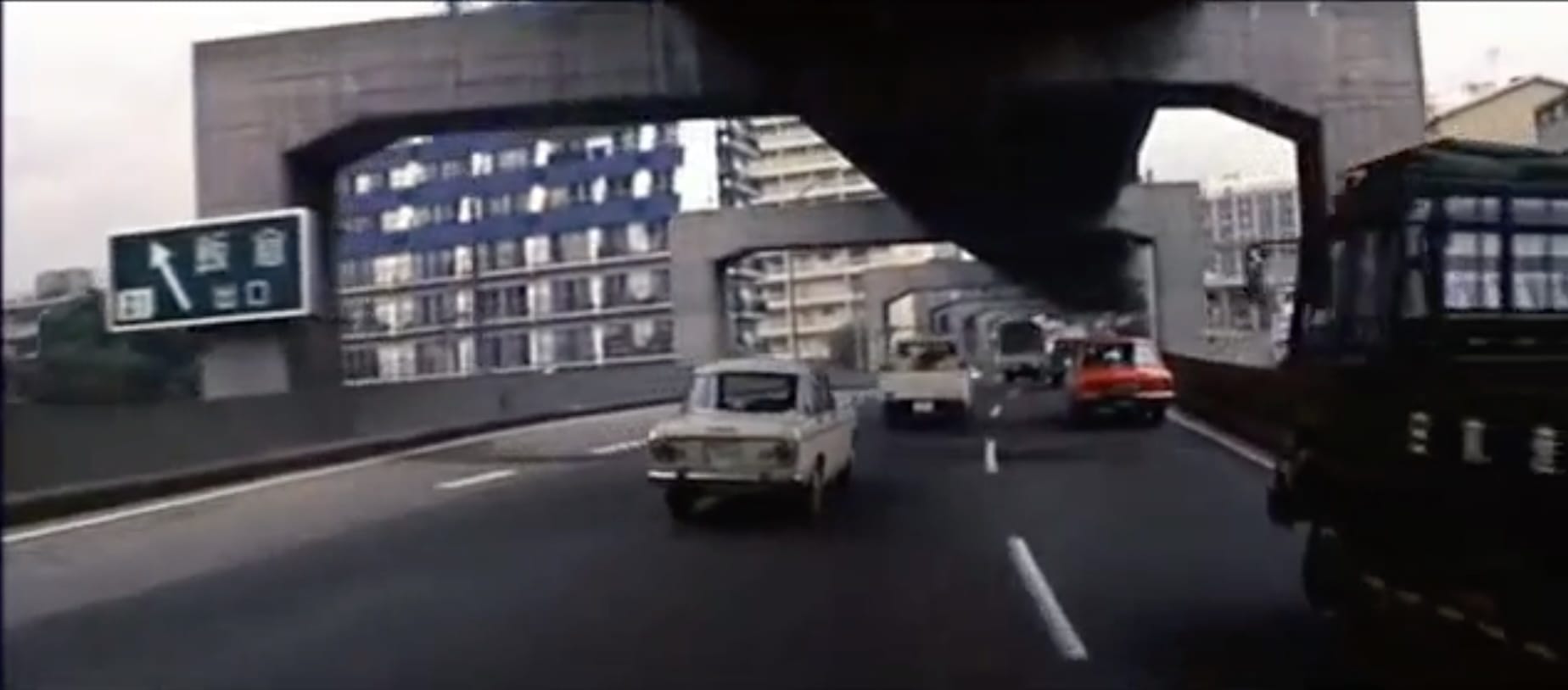
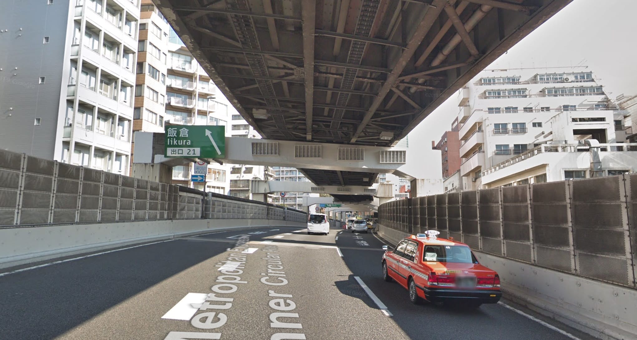
Cut to Azabujuban Sequence
Location of off-ramp going into the tunnel: (map)
Shortly after the turn:
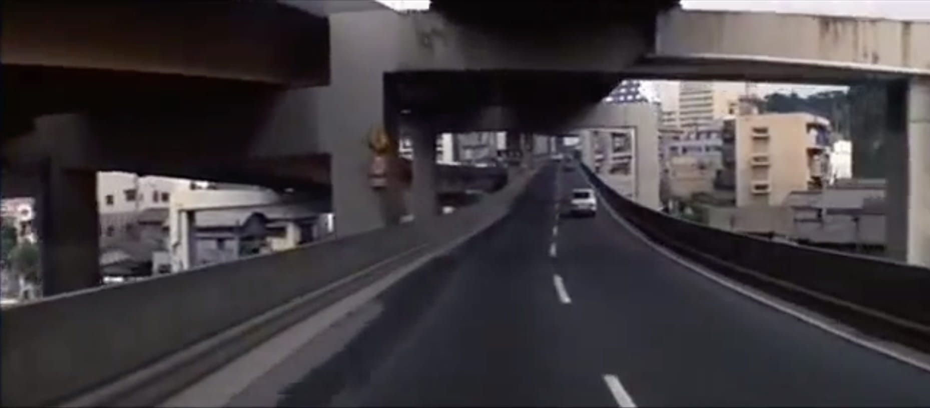
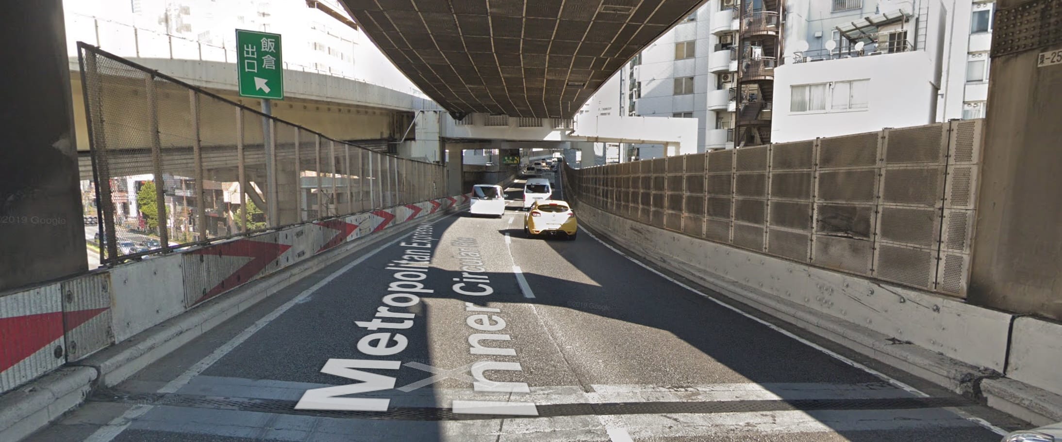
Even bit more forwards, Iikura exit ramp: (map)
End of sequence: